What changed?
TerraOps compares recent satellite images and shows you important physical changes across your site.
Mining Area A
4.7 hectares changed
4.7 hectares changed
Seen on 4 Sep 2026
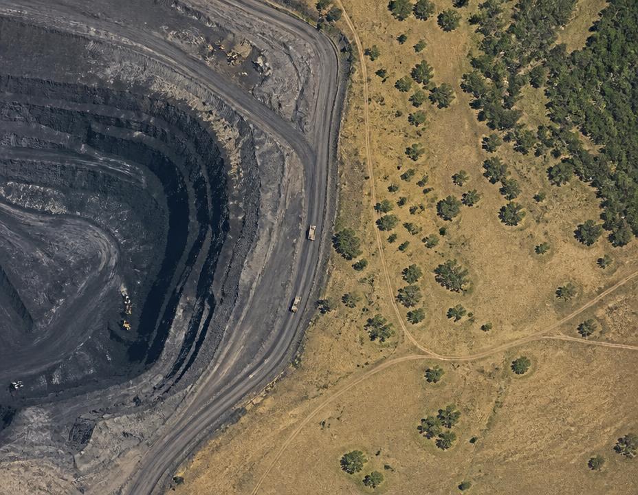
- Area changed
- 4.7 ha
- Possibly outside planned area
- 0.8 ha
What happened?
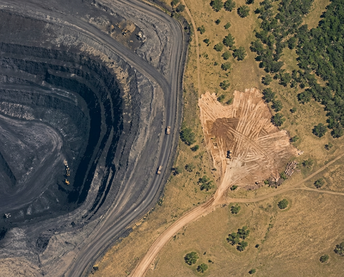
TerraOps found new ground disturbance since the previous satellite image.
Approximately 4.7 hectares changed.
Why does this matter?
About 0.8 hectares may be outside the planned working area.
This could require an environmental or operational check.
What should I do?
Send someone to look at the new ground and the boundary line.
Inspection completed
- Inspect new land disturbance · Needs doingView task
- Inspect Mining Area A eastern edge · CompletedView result
Where is it?
- Planned area
- Changed area
- Needs checking (0.8 ha)
The red piece sits outside the planned area, so someone should go and look at it.
How sure are we?
High confidence
The change is clearly visible in the latest satellite image.