Travel less
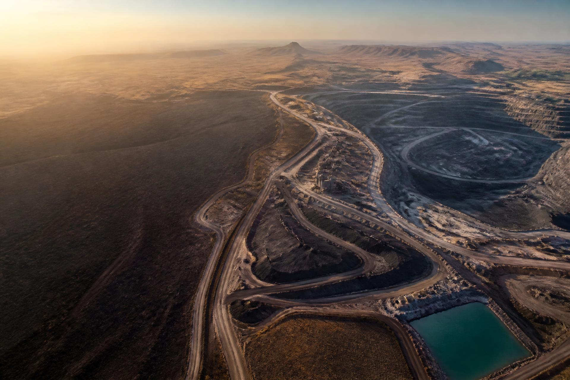
Send people to check everything
Earth intelligence for mines
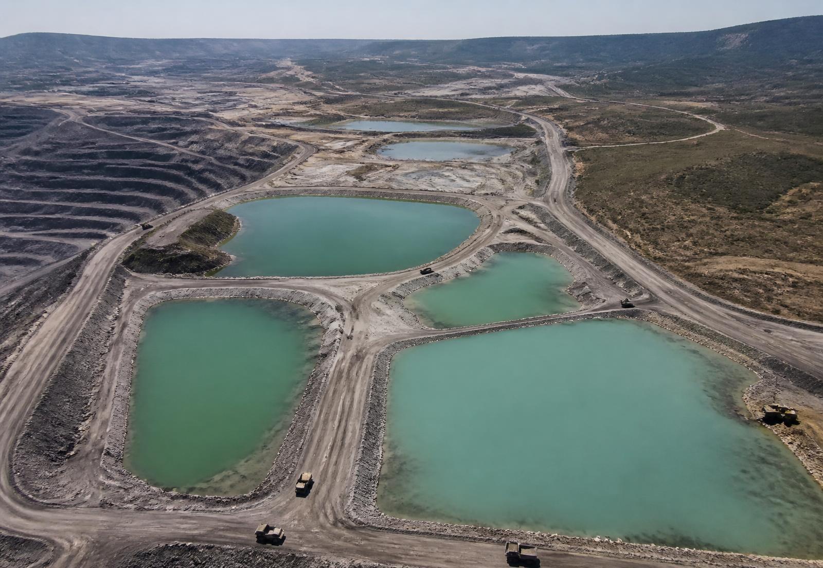
TerraOps uses satellite images and AI to help mines monitor large areas, spot problems earlier, plan better infrastructure and verify completed work.
See TerraOps in action
Satellite images are useful. Knowing what changed is better. Knowing what to do next is where TerraOps becomes valuable.
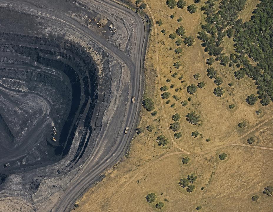
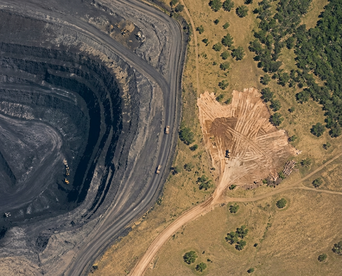
Drag the handle to compare the two dates.
TerraOps found
0.8 hectares may be outside the planned working area.
Why this matters
This may need an operational or environmental check.
How TerraOps works
We watch
Satellite images help TerraOps watch large areas without sending people everywhere.
What can TerraOps help with?
TerraOps helps mines understand what is physically happening across large operations.
The practical difference
Send people to check everything
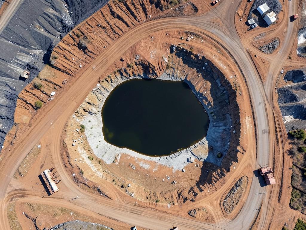 Before
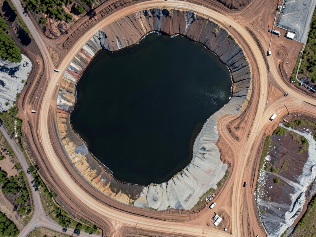 Changed area
TerraOps highlights the areas worth checking.
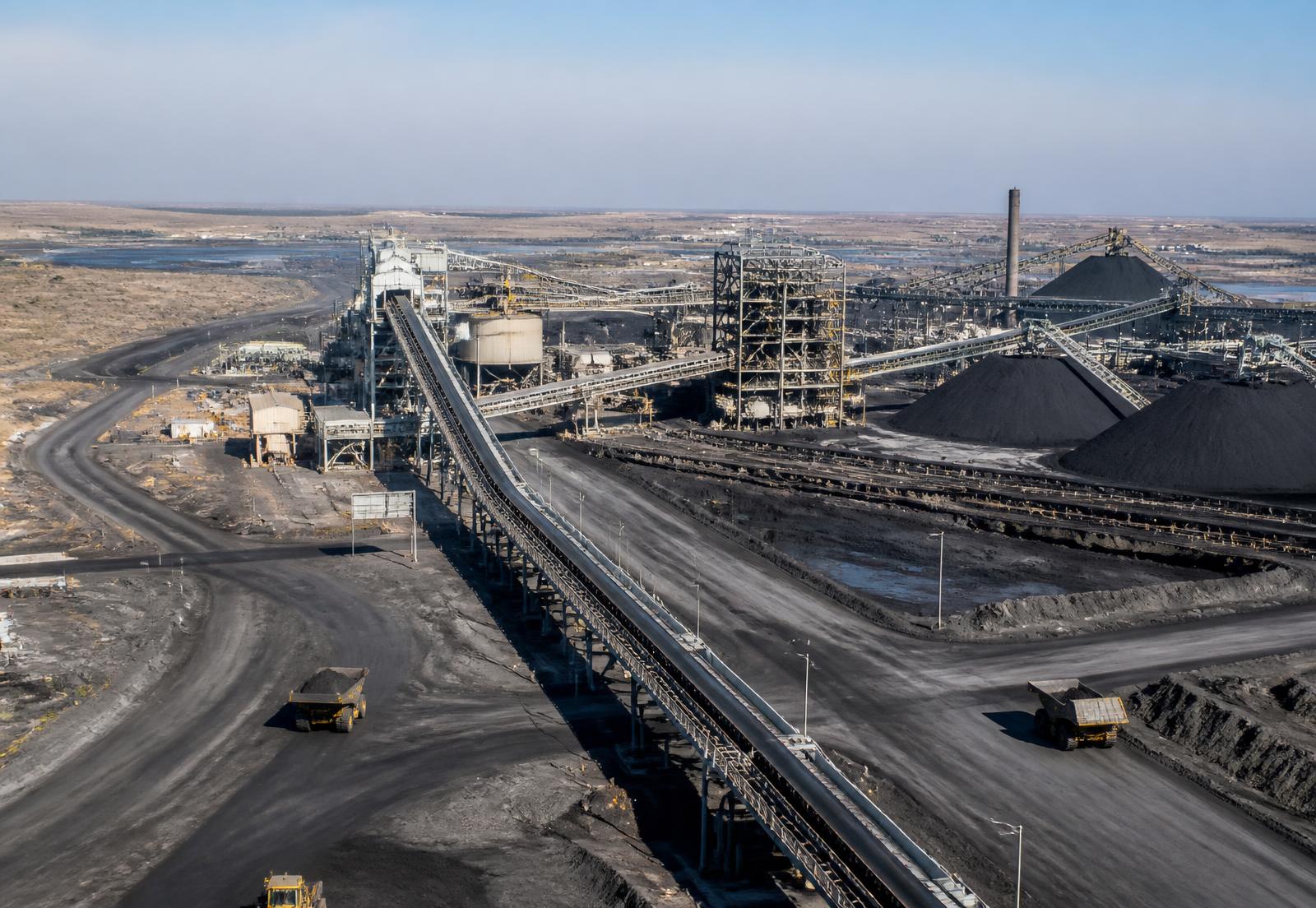
Compare possible routes before spending money on detailed engineering.
Reported
100%
Observable
About 92%
Field inspection
Problem found
Bring different evidence together before accepting visible progress.
Illustrative examples
These fictional examples show how TerraOps could be used by mining and engineering teams.
Illustrative example
Mhlabeni Coal Mine
Problem: Managers cannot physically inspect every part of the mine every day.
TerraOps: Satellite monitoring identifies new land disturbance, water changes and rehabilitation areas needing attention.
Example result
3 important changes found this week
MineFlow
MineFlow helps teams compare possible routes for conveyors, roads, pipelines and other infrastructure.
Recommended for further study
| Route A | Route B | Route C | |
|---|---|---|---|
| Distance | 18.2 km | 19.6 km | 17.4 km |
| Future mine conflict | High | Low | Medium |
| Terrain | Medium | Low | High |
| Water crossings | Low | Low | Medium |
Illustrative example
Ubuntu Mining Operations
Problem: Coal travels a long distance between the mining area and wash plant using trucks.
TerraOps: MineFlow compares three possible conveyor corridors and shows what each route may interfere with.
Example result
Route B is recommended for further study
MineVerify
Reported
100%
What TerraOps can see
About 92%
Field inspection
Needs attention
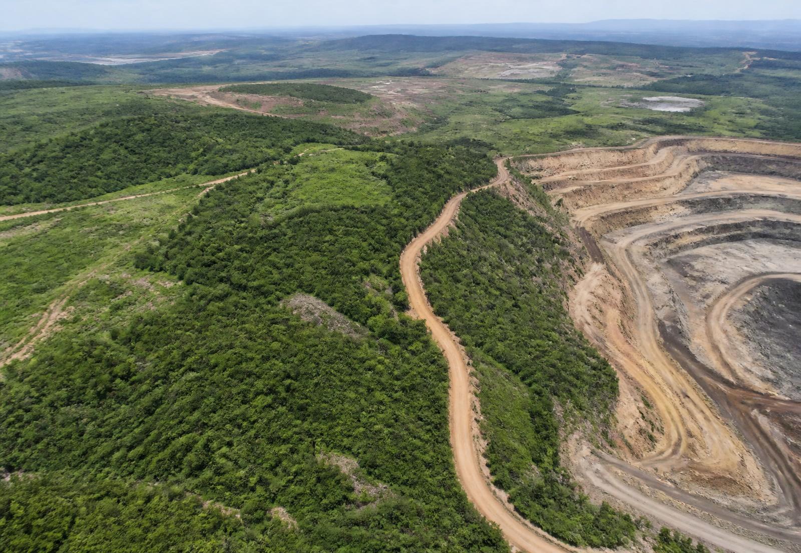
TerraOps helps managers compare reported progress with visible changes and field evidence.
See MineVerifyTerraOps supports management decisions. It does not replace engineering or contractual certification.
Ask Terra
Terra
Your TerraOps assistant
There are 3 things worth checking today.
What you can do next
Start with Mining Area A because part of the change may be outside the planned working area.
Illustrative example
Imbokodo Rehabilitation Project
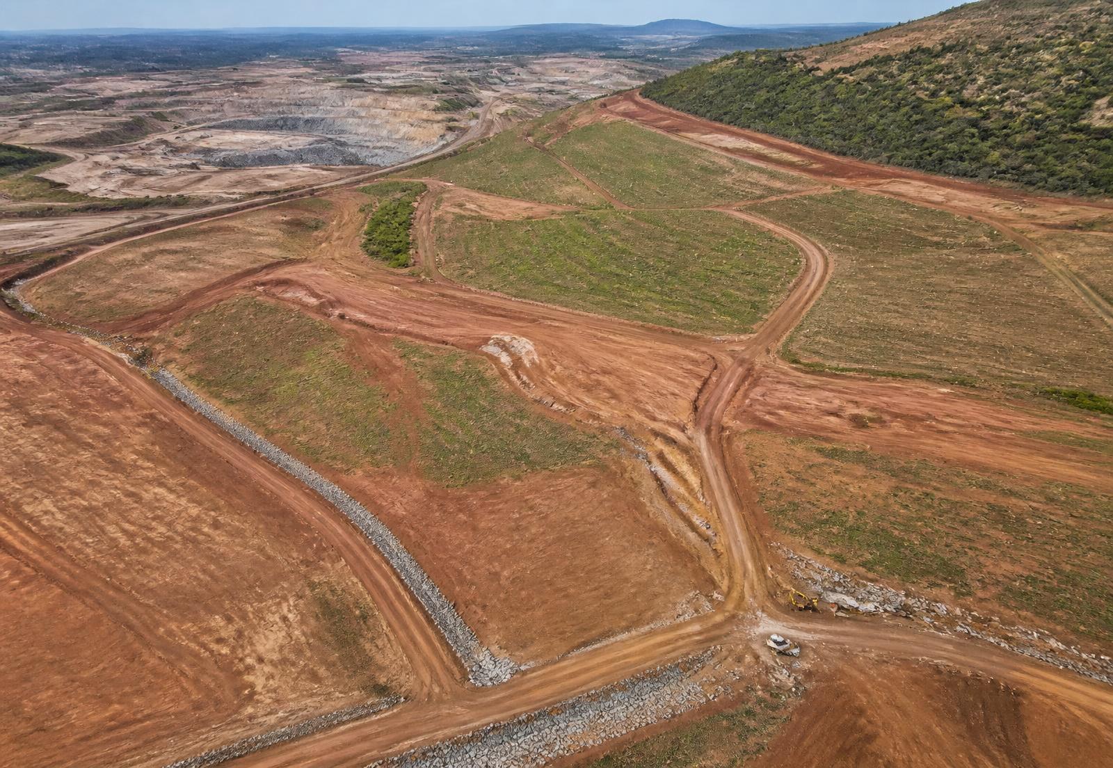
Problem: The work was reported as 100% complete, but not everything is visible from above.
TerraOps: TerraOps brings satellite observations and field evidence together before management closes the work.
Example result
Observable progress: about 92% · Field inspection: needs attention
One clear view
Without TerraOps
Satellite images
Mine plans
Spreadsheets
Emails
Inspection photos
Information spread across different places
One simple view of what changed, what matters and what should happen next.
Built for real operational questions
What changed since last month?
Where should someone inspect?
Which route is worth studying?
Does visible work match the report?
Which site needs my attention?
The TerraOps vision
Available first
Mining operations
Coming later
Agriculture
Coming later
Infrastructure
Coming later
Government
Explore the fictional TerraOps mine and see how the platform turns satellite information into simple decisions and actions.